1 / 5
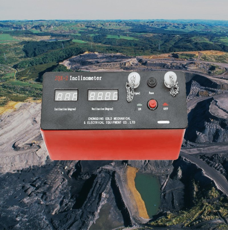
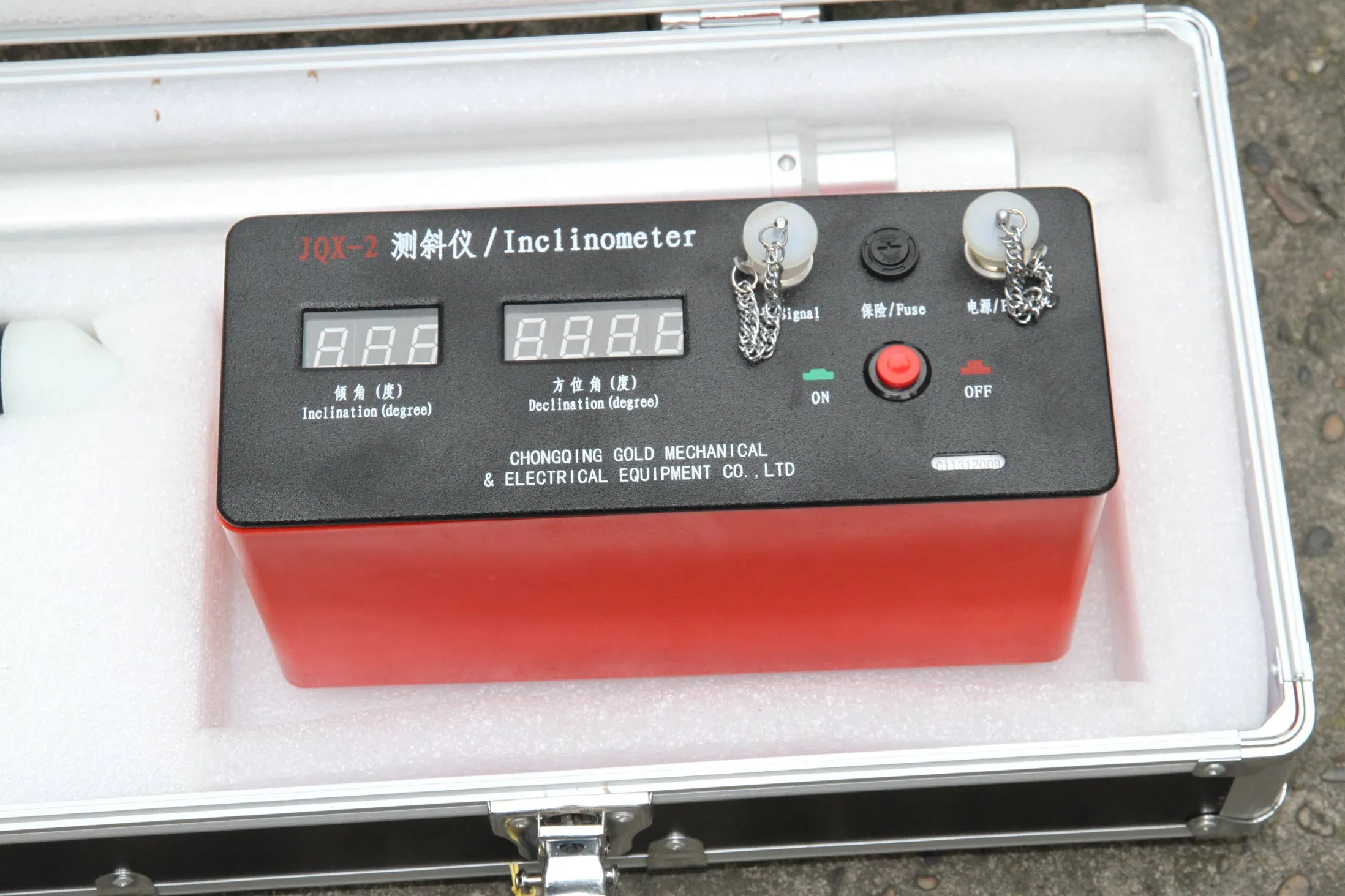
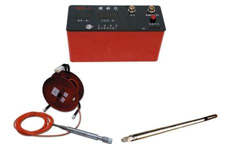
| Model NO. | JQX-2 |
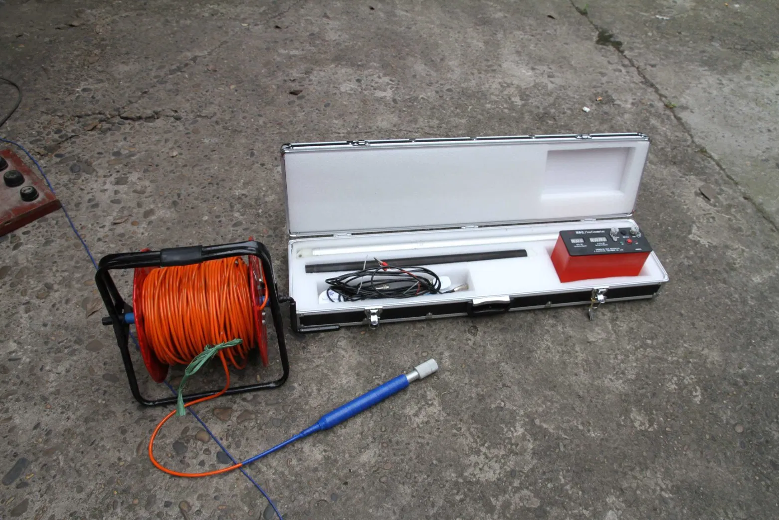
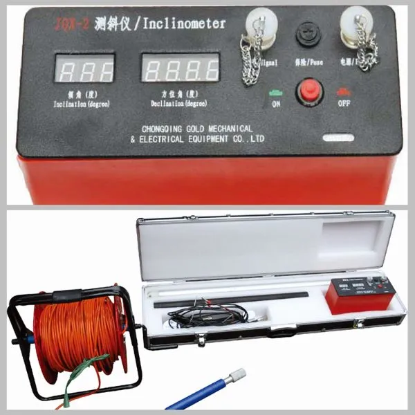
| Product Name | Portable Digital Inclinometer |
| Vertical Lines | 1 |
| Application | Well, Borehole, Underground |
| Function | Logging, Testing |
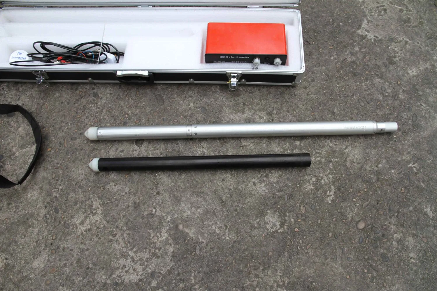
| Probe Down-Hole Length | ≤1000m |
| Probe Outline Dimension | 42*980mm |
| Working Temperature | 0°C~85°C |
| Vertex Coverage | 0~60° |
| Vertex Accuracy | ≤0.1° |
| Power | Electronic |
| Transport Package | Wooden |
| Specification | 240*95*140mm |
In the multidimensional calculus of subsurface engineering, raw coordinates only provide part of the picture. The JQX-2 Portable Digital Inclinometer System distinguishes itself as the analytical authority for subsurface vector analysis, transforming point-based measurements into a coherent understanding of directional trends and deformation vectors. This instrument enables professionals to model not just where a borehole is, but where it is heading, providing directional derivative data—a crucial input for predictive modeling and sophisticated risk assessment.
The system's analytical power is rooted in its high-temporal-resolution data capture. By recording inclination and azimuth at finely spaced depth intervals with 0.1° and ±4' precision, the JQX-2 constructs a dense, high-fidelity vector field. This dataset allows for the mathematical calculation of the rate of curvature (dog-leg severity) or depth-specific displacement vectors. Engineered for minimal noise and high repeatability, it ensures that calculated vectors reflect true geomechanical behavior.
With a 5 MPa pressure rating and 0°C to 85°C operational range, signal integrity is maintained across environmental extremes. The surface unit acts as a field-deployable analytical workstation, processing raw angles into immediately useful outputs such as cumulative displacement profiles or 3D curvature visualizations.
| Analytical Parameter | System Specification | Implication for Analysis |
|---|---|---|
| Spatial Sampling Resolution | Configurable interval (e.g., 0.5m or 1.0m) | Determines granularity; finer intervals allow precise detection of localized anomalies. |
| Angular Measurement Precision | 0.1° Inclination; ±4' Azimuth | Foundational accuracy for all derived vector calculations. |
| Sensor Stability | < 0.05° (Repeatability) | Ensures changes represent true ground movement, not instrument noise. |
| Data Output Structure | Depth-stamped triplets (Depth, Inc, Az) | Sequential data required for 3D path reconstruction and curvature calculation. |
| Environmental Envelope | 0°C to 85°C; 5 MPa pressure | Maintains calibration and consistency across varying seasons and depths. |
| Probe Design | Φ42 mm, high straightness | Minimizes tool-induced errors such as cable sag or probe wobble. |